Drone Services
We use drone imagery and measurements alongside field observations to map your property, assess forest conditions, and track changes over time.
Discuss your project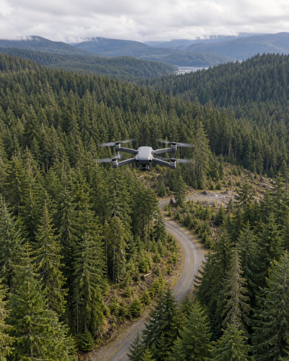
The work
See your property from another perspective.
Aerial imagery can provide an overview of forest cover, roads, and areas of recent work. The right survey depends on the question you want to answer, so we start with the area of interest and how you intend to use the information.
Work may include
- High-resolution aerial photography and stitched aerial maps (orthomosaics)
- 3D terrain modeling and volumetric analysis
- Pre- and post-harvest site documentation
- Reforestation survival surveys and canopy assessment
- Wildfire damage assessment and recovery monitoring
- Property boundary and access road reconnaissance
Aerial surveys can help identify areas that need closer inspection and provide a record of changes before and after forestry work.
We’ll agree on the scope of work with you after discussing your goals and assessing the property.
Getting startedTell us about
Tell us about
your property.
When you contact us about drone services, share any of the following details you have available so we can understand your project.
Explore our service area- The property location and area you want documented
- The features or changes you want to examine
- Any existing maps and your intended use for the imagery